Interactive Map For “The Greatest Show On Earth”
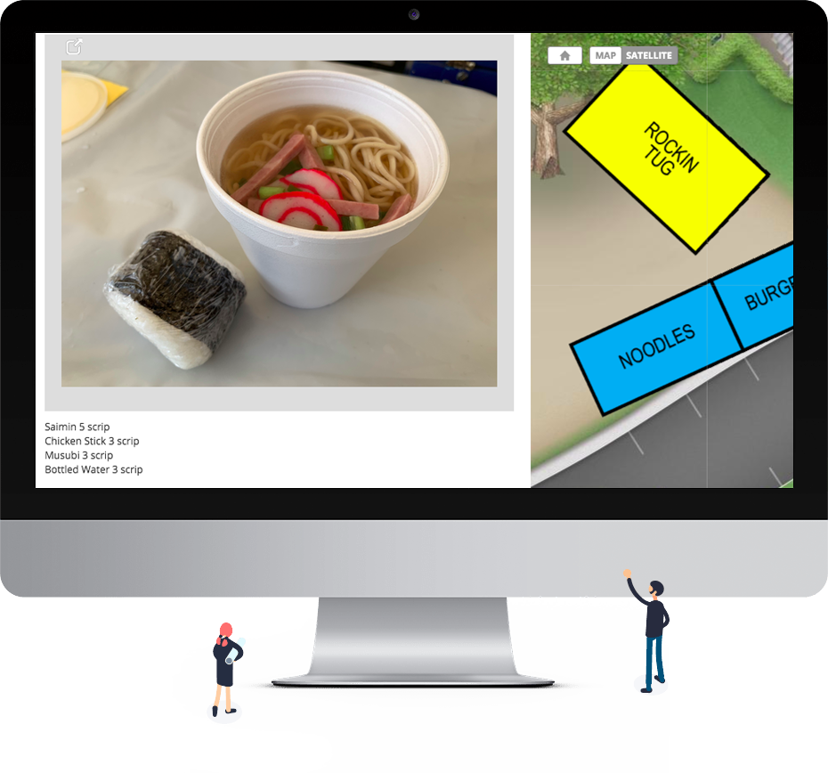
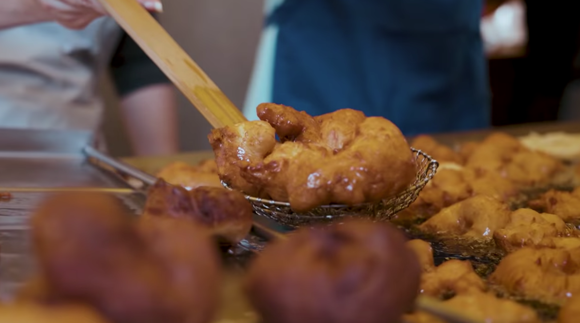
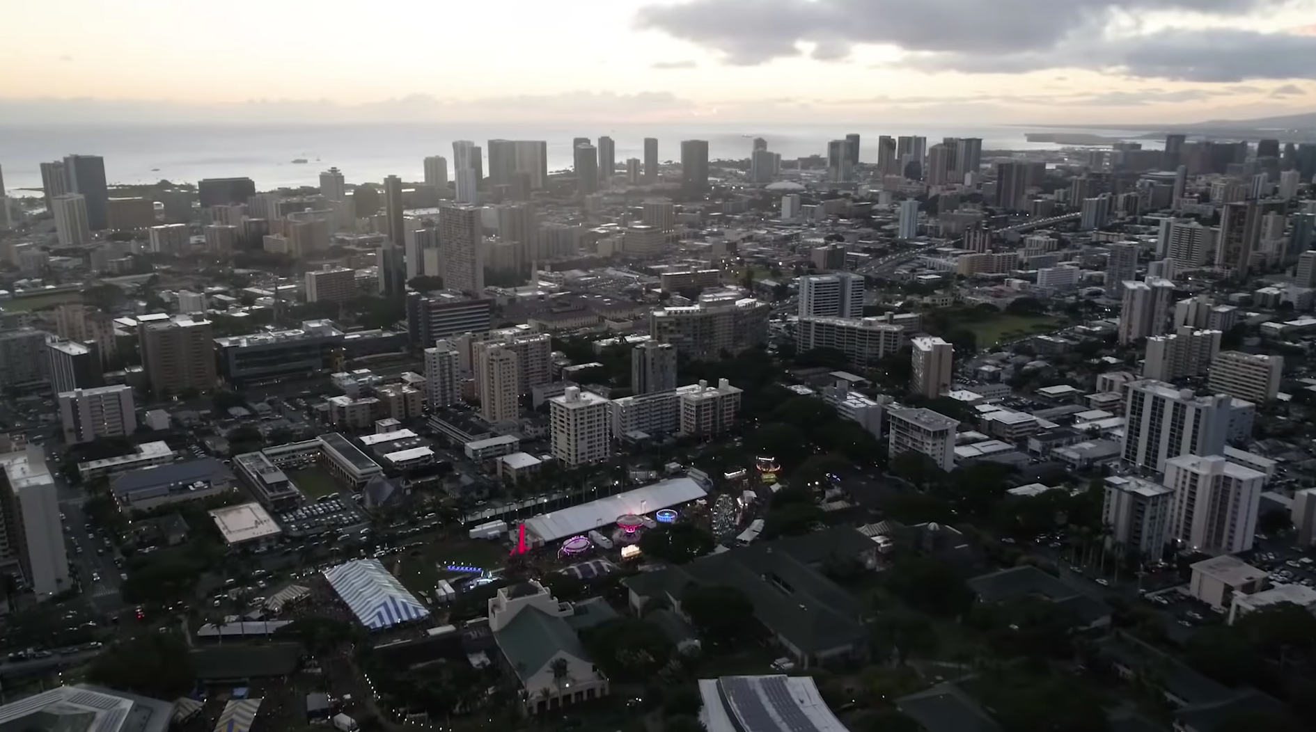
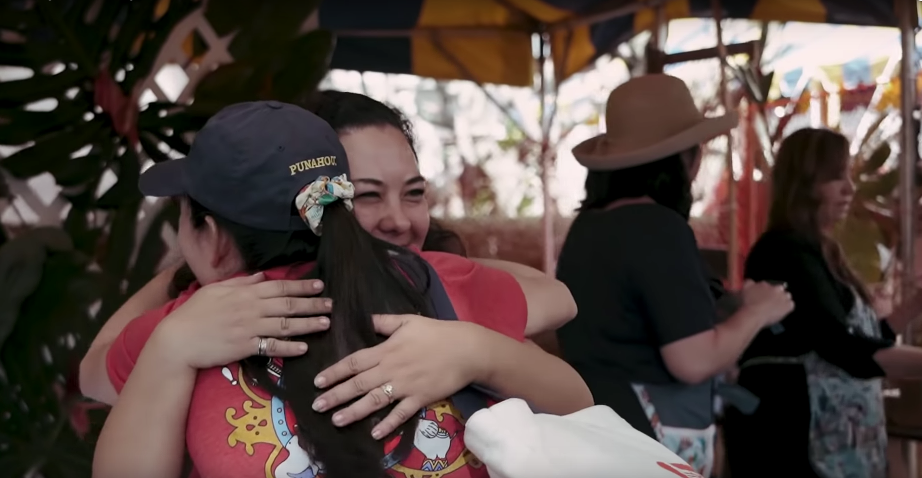
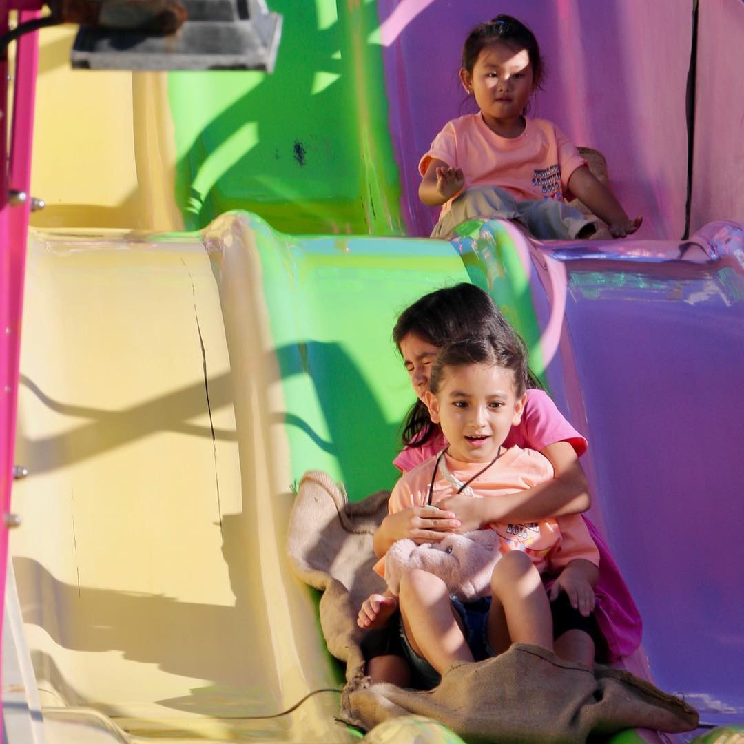
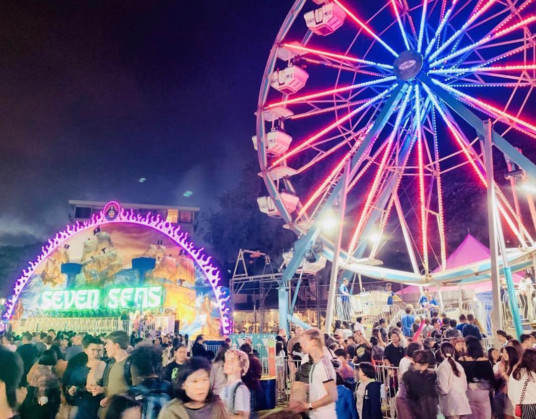
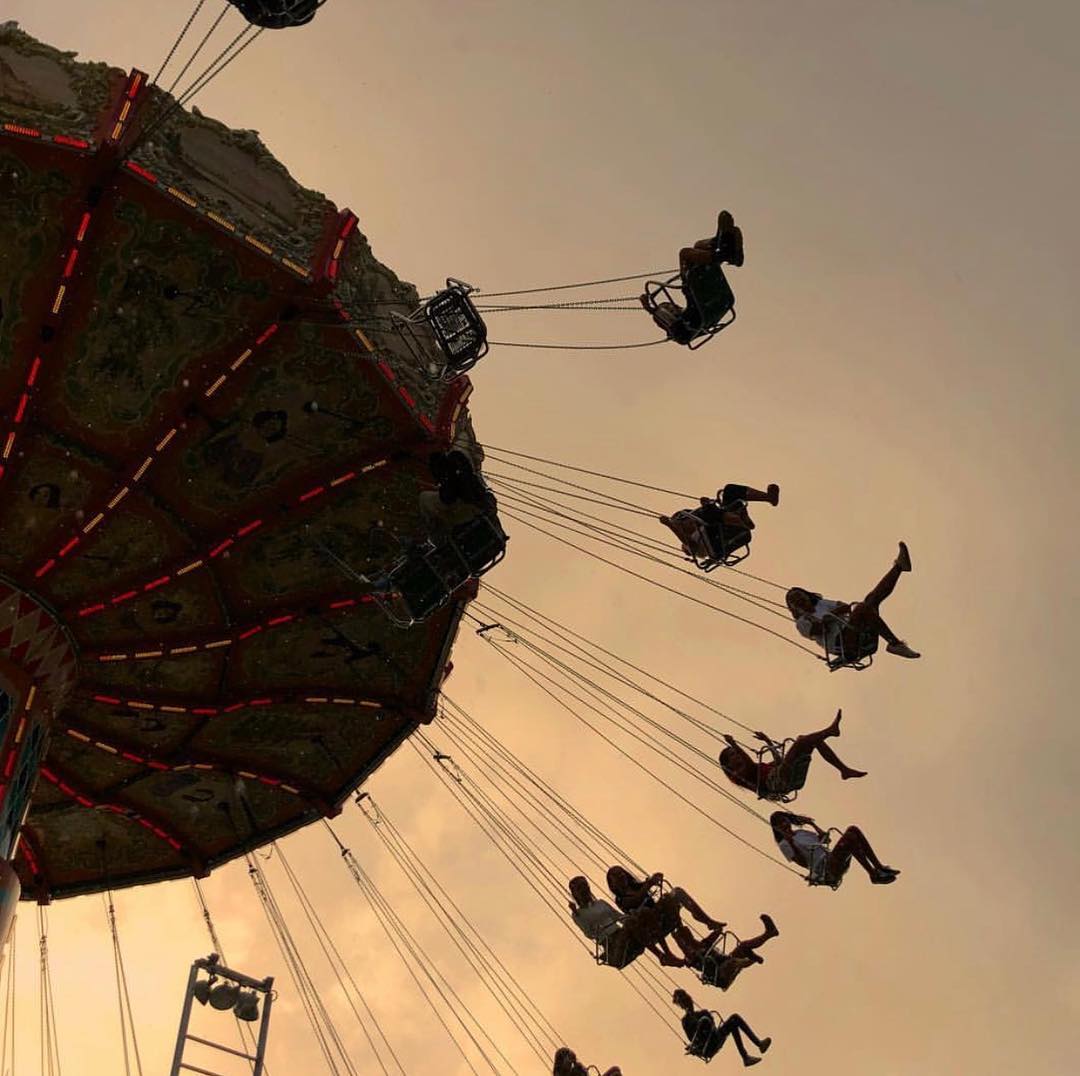
The Carnival is one of the biggest events of the year at Punahou with students, families and community members all visiting campus to enjoy rides, food, a silent auction, a variety show and specialties unique to Punahou’s Carnival including malasadas, like a doughnut but better, and live Hawaiian music. All this information found one place to be presented on the interactive map.
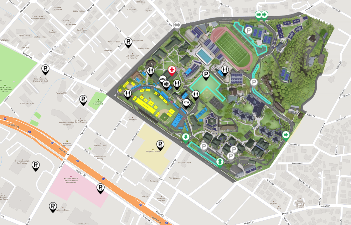
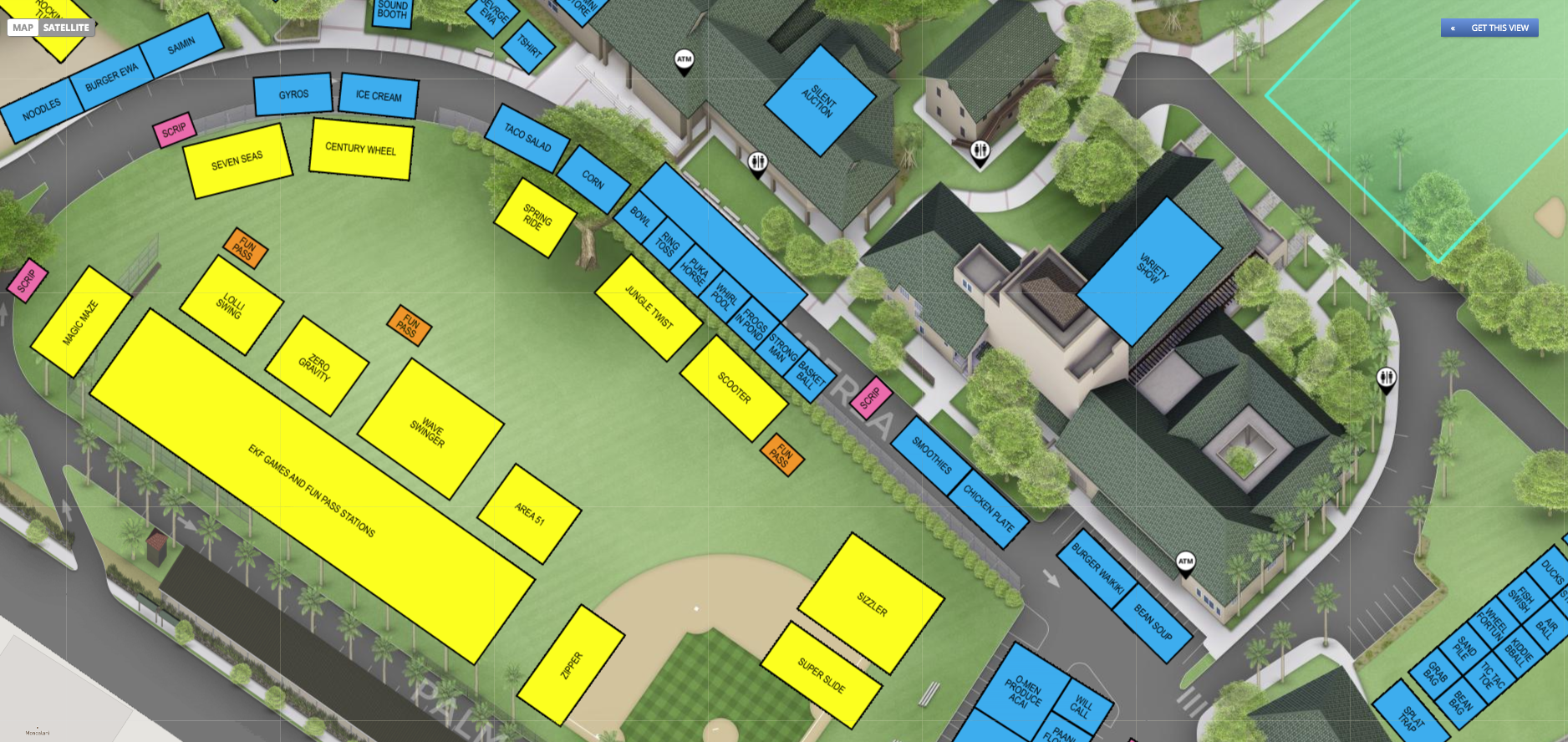
The custom event overlay gave the exact location for each attraction well as a home on the map for all the related information. For each there were:
- Photos of the fare with the menu with a price list
- Times for the variety show
- Link out to each silent auction item
- Schedule for each live act
With everything connected to the location on campus through the overlay, it along with all the location details was managed via the Concept3D CMS. One benefit of the CMS is now that the Carnival is over all that information is no longer publicly available but stored in Punahou’s secure map content management system
With the interactive map we were able to have a place to send Carnival visitors to get all related information.
Brian Craven, Communications Officer – Digital Media, Punahou
80% of interactive map users during the Carnival were on mobile
Over 3200 unique visitors referenced the interactive map during the Carnival
The average Carnival visitor spent over 17 minutes looking at the event map
Not only did Carnival-goers, estimated at 20,000 people, have the benefit of all the event information accessible from their mobile devices through a digital event map there are additional benefits to both the Carnival and Punahou School from having an interactive map.
For the Carnival, the overlay and printed materials also played a role. The overlay created with help from the Concept3D production team from a PDF is now a KML file. Spatially accurate, this master overlay is easily changed for the next Carnival if necessary. Additionally, Punahou printed two 4′ by 8′ posters of the map with the overlay for reference at major check-in areas.
The Carnival is just one way Punahou uses and plans to use the interactive map. The Carnival was part of ‘Phase 1,’ but the next phases include adding virtual tours and more information for prospective students and families. The interactive map is in good shape for the 2020 Carnival, but there is much more in store for the map, virtual tours, and Punahou School before then.


Transform your online experience.
See our technology solutions come together in one seamless experience.