Let’s Talk
Create location-driven virtual experiences that immerse your viewers.
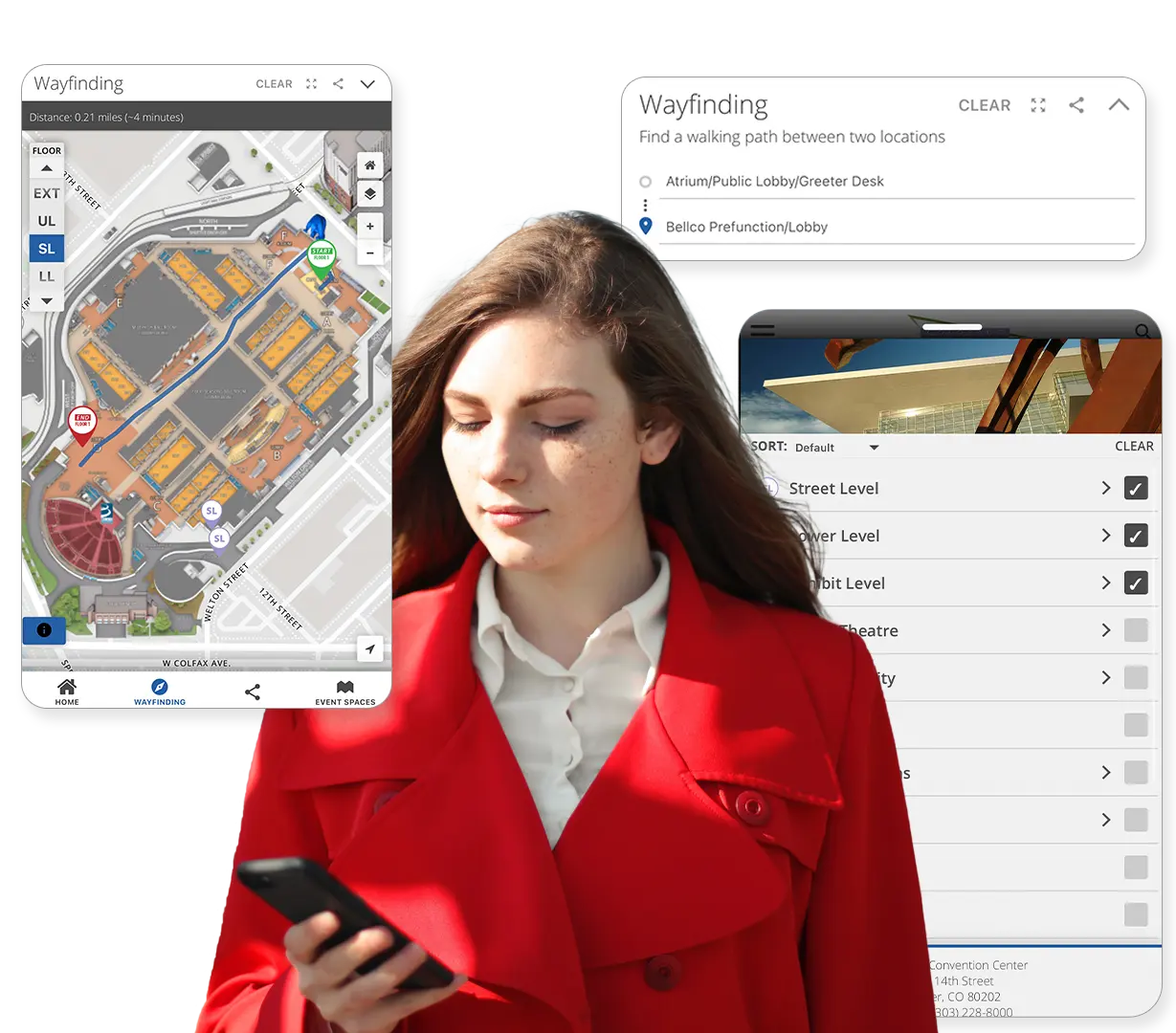
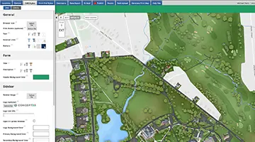
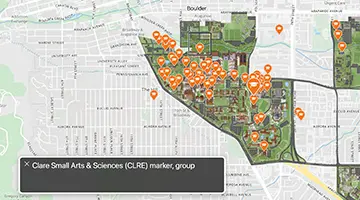
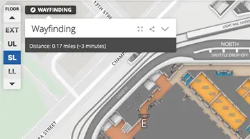
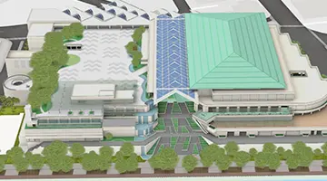
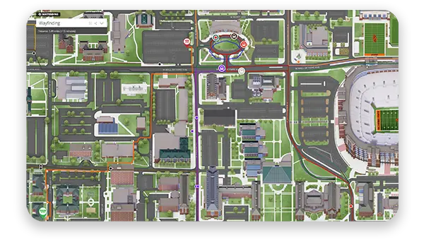
Our market-leading mapping solution is designed to showcase your location and exhibit your on-site experience through immersive, interactive, visual communication.


Concept3D has helped clients build a sense of community online for over a decade with our award-winning Interactive Maps, 360° Tours, and Events Calendars. We work closely with clients across higher education, hospitality, live events, destinations, sporting events and are continuing to expand the problems we help solve.


Debbie Nichols, Fresno City College
Lyssa P, Bishop’s University
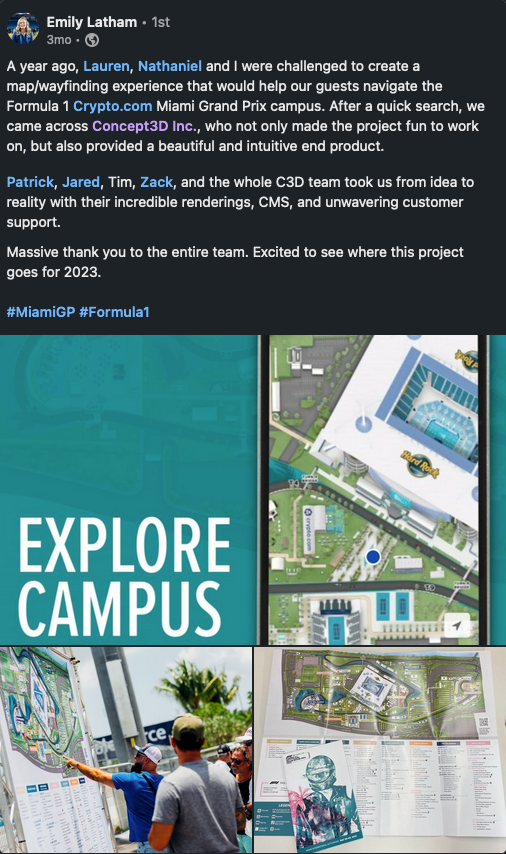
Rich Carollo, Colorado Convention Center
Rich Carollo, Colorado Convention Center
Lisa Lilly, INAP Data Centers
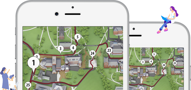
Bring your world to life virtually, showcase your location, and effectively tell your story.
Entry level package easily upgradable. Features to note:
The most popular interactive map package. Features to note:
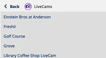
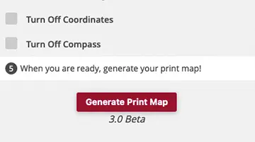
Enhance your interactive map with these featured add-on’s:
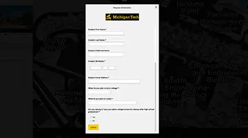
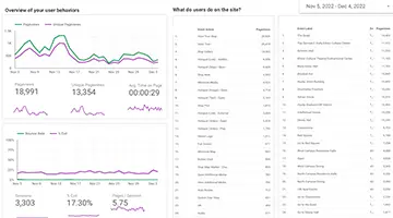
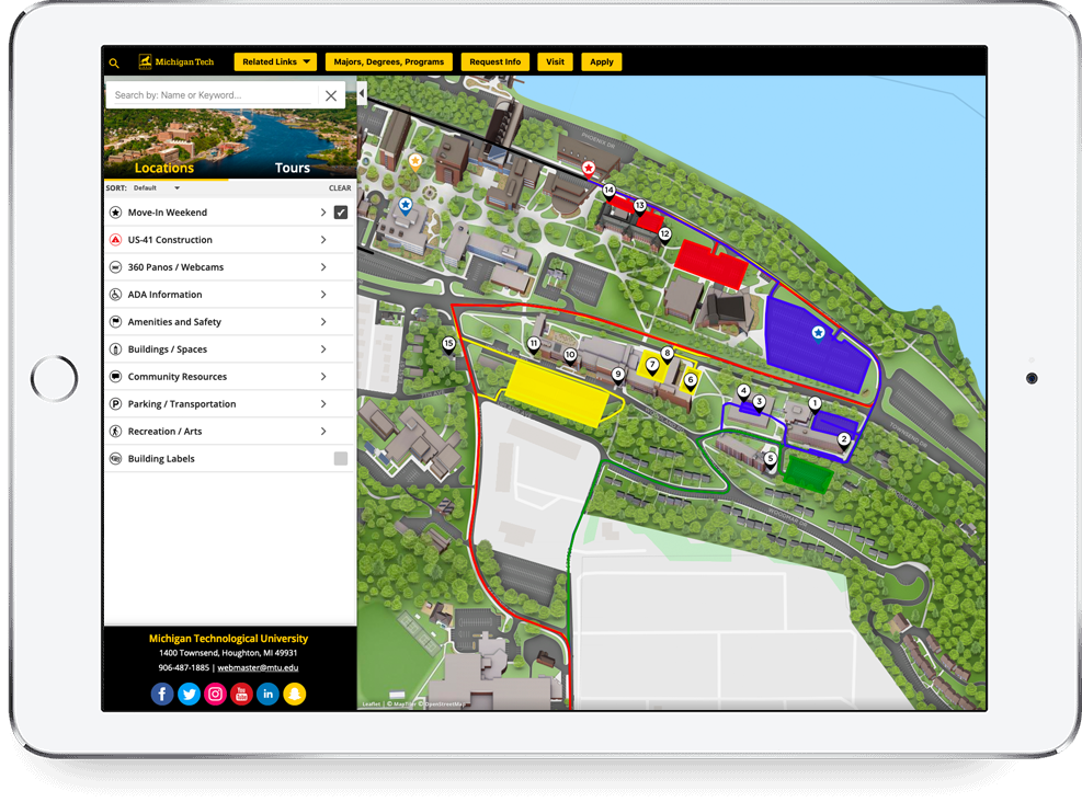
Michigan Technological University is a public research university offering over 120 undergraduate and graduate degrees to their student body of over 7,000. After connecting a Slate form to their interactive map, they reached a 4% form completion rate. Of those that filled out the form, 32% were prospective students’ first touch with Michigan Tech. Twenty-one of those students now attend Michigan Tech.
See our technology come together in one seamless experience.