Turn your geographic data into a beautiful and customizable map with concept3D solutions.
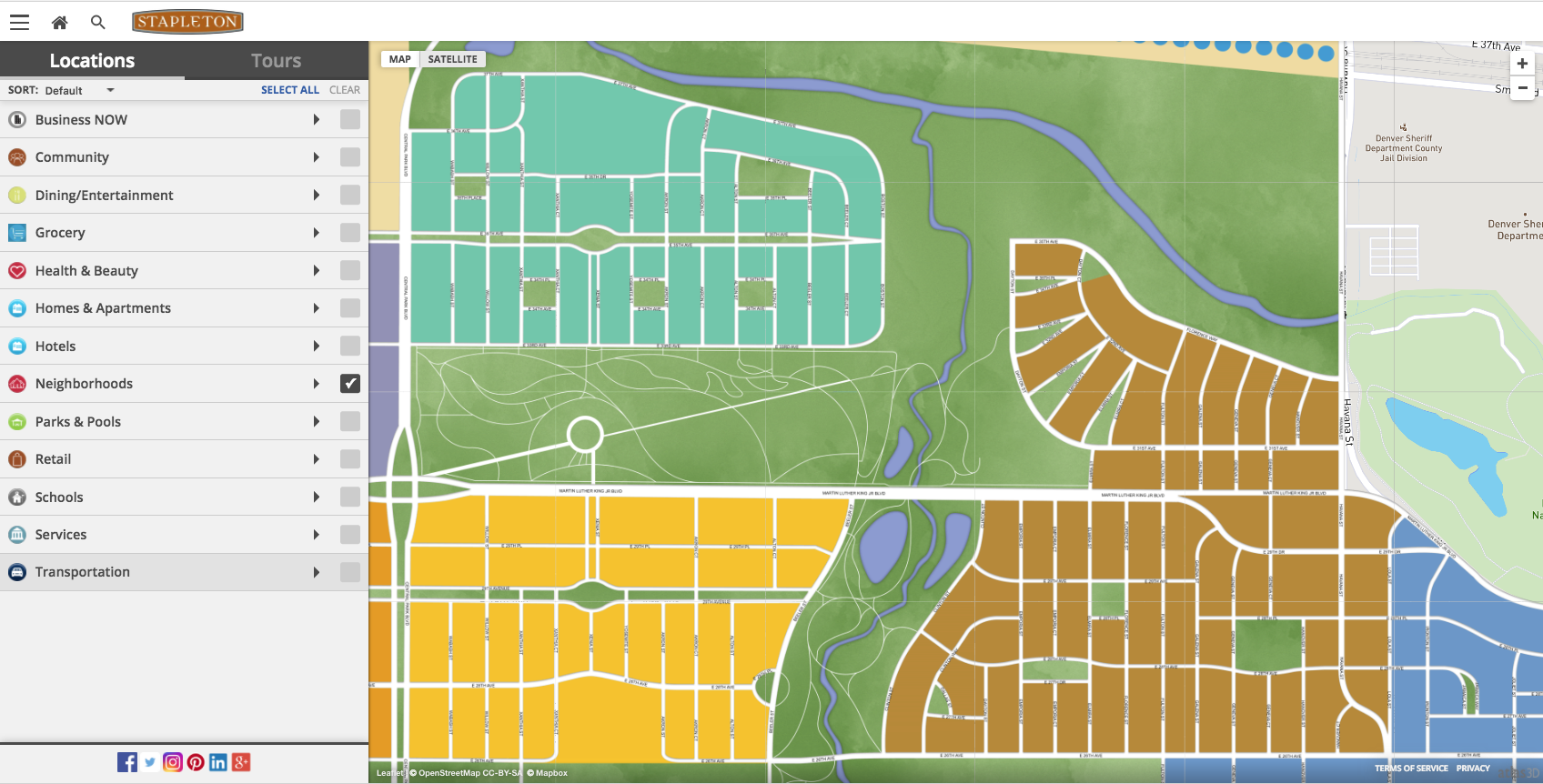
Picture a map. What do you see? Street names, parks, buildings, etc. Maps provide everything you need to know about a location. They are a user-friendly way to navigate around your neighborhood or an unknown location you need to research. However, the map you’re picturing doesn’t originate in the same format. They come from a massive pile of geographic information that certain systems need to evaluate and then visualize for the end user. ArcGIS is a system that can take geographic information, compile and analyze it to help configure maps into a readable format. The problem is unless you’re a cartographer, it’s hard to read and understand maps in ArcGIS format. There are several web visualization tools available including the ArcGIS Viewer for Flex. However, many of these tools are being discontinued.
Why is ArcGIS important to maps?
Incorporating ArcGIS data into your map is important to ensure your map is accurate. Managing all the geographic data for a location is difficult and filling that gap is what ArcGIS does. This however does not always make for the most user-friendly maps. concept3D offers tools and a platform to take from the data format and turn it into a beautiful, easy to use and interactive map.
How can I use ArcGIS in an external map?
Maps can be an efficient way to communicate neighborhoods, zoning, and attractions in a certain city, town, or park. concept3D’s platform allows you to satisfy any need by managing ArcGIS data so meanwhile, you can build an attractive map for your customers. Indiana University, a concept3D client, integrated ArcGIS data into their map to make a seamless and attractive experience. With nightly updates, any change made by the Facility Department appear the next day on the map.
