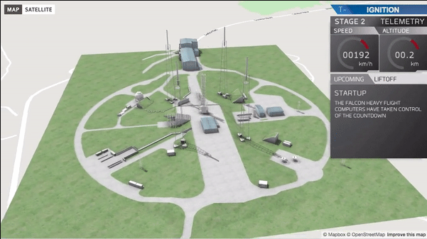
Mapbox has been has been part of the evolution traditional maps into interactive maps. Mapbox is a open source mapping platform and Open Street Map (OSM) tile provider. Using platforms like Mapbox allows developers and creators to be able to integrate live data, outdoor and indoor wayfinding, 3d renderings and much more, including map orientation.
Map orientation allows you to orient or tilt the view of the map to cater to your building or campus. Adding tilt or angle to your map will give your end-user an unforgettable virtual experience. This blog will go over how to make your map more customizable, be a true 3D map, and make your map more convenient for you end-user.

Customizable map
A lot of campuses, buildings, or convention centers are not best understood or seen from true north. For some buildings or campuses there might be a focal point which everyone orients with that is not north/south orientated. Being able to guide visitors with a map that is custom to how the space is actually utilized, not bounded by the cardinal directions. With map orientation you can not only focus on that specific point or building you can lock and center it on your map. Overall it not only makes your map look better, but it just adds another customizable part of your map.
True 3D maps
Adding a tilt or angle to your map will truly make it a 3D map. What that means is to be able to view your map from not only from an overhead view but at multiple angles. Allowing the map to be rotated, tilted, and zoomed in at any point. It will give you more freedom to show of your campus or building in stunning detail

Convenience
As a customer, guest, client, or even worker finding the front of you building can be challenging with construction, traffic, or events going on. With map orientation it will make it easier to find out where exactly the front of the building is. Not only will it ease frustration, but make your building more efficient