Concept3D Interactive Mapping
The more data and detail that your map delivers, the more likely your visitor, client or employee will find the answer they are looking for and enjoy themselves along the way. However, delivering a wealth of data and detail requires an advanced mapping solution with a robust set of APIs, integrations and geospatial data that can tap into a wide variety of functionality. Open-source mapping platform Mapzen once served in that capacity for many individuals and organizations. If you’re a former client of MapZen, and looking for a best-of-breed alternative, the Concept3D platform is able to integrate with MapZen data. As a widely recognized leader in 3D interactive mapping, virtual tours and wayfinding, Concept3D serves as the perfect platform for highly interactive, custom 2D or 3D maps that deliver stunning detail and seamless data integrations.
Your Choice of Geospatial Foundation
Concept 3D lets you choose from Mapbox or Google for your interactive map and 3D-rendering foundation. A Mapbox foundation paired with our 360° Panoramas generally provides the most flexible and customizable framework. However, Concept 3D works equally well with Google’s geospatial foundation if you find that you must have Street View or another Google feature. Either way, we can overlay any number of data integrations on top of your choice of geospatial foundation to create the perfect custom mapping solution with details exquisitely tailored to the needs of your specific audience.
Robust Data
A robust API
Concept3D has invested heavily in developing our robust and advanced API that enable a wide variety of 3rd party data feeds to enrich our custom maps with as many datasets as your needs require.
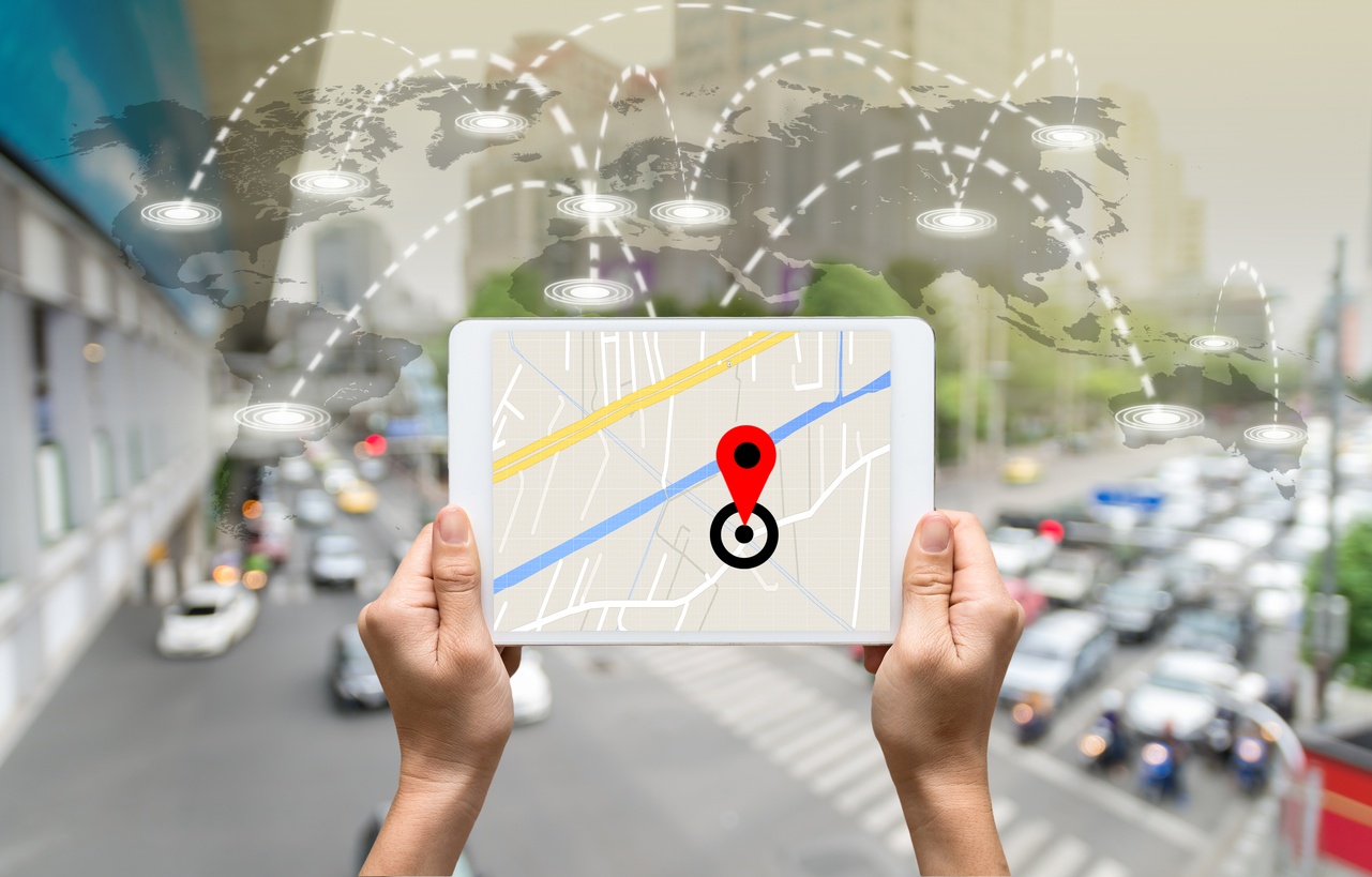
3rd party data feeds
To create the most engaging interactive maps, virtual tours and wayfinding solutions, it’s important to input data from a variety of 3rd party data feeds. With the wealth of data these feeds deliver your custom maps will be as informative and useful as they are breathtaking. Whether you need a custom solution to cover a convention center, a hospital, a university, a hotel, a college campus, or any other complex venue, data integration will help your maps stand out and deliver details in striking ways that make all the difference to potential visitors, clients or customers.
A wide variety of data types
Concept3D can populate its stunning visualizations with data feeds identifying traffic patterns, construction zones, public transportation routes, and other highly useful datasets that help visitors find and efficiently navigate every corner of your venue. For example, a live data feed of traffic flows and parking lot availability in and around your venue will help minimize visitor congestion and frustration by ensuring your patrons find the most hassle-free route and arrive on time.
Turning on/off datasets as needed
In many cases, you may want to turn data feeds on and off for different events, or when using your maps for different purposes. For example, while managing your facility’s operations, you may find it useful to populate an internal-facing version of your map with a data feed specifying all the public recycling and garbage pickup locations and schedules on the premises. However, you would probably choose to deactivate this data feed for the visitor-facing version of your map, as it would be unnecessary and distracting. Concept3D makes it possible to easily turn on/off any data feed you wish at a moment’s notice to produce any number of custom, internal and external-facing maps for any event or situation. Many of these data integrations are pre-built, ready to turn on without any need for custom code or development cycles, drastically reducing costs.
Advanced wayfinding
What is wayfinding?
Wayfinding on the Concept3D platform essentially takes over where ordinary directions leave off. With advanced wayfinding integrated into your mapping solution, your clients and visitors will not only know how to get to your address, but exactly where to park; what walking route to take; how to navigate each and every hallway; and how to find their seat or other precise destination, all within a guided interactive visualization they can view on their smartphones along the way. Overall, wayfinding brings stunning precision to the process of finding a destination, so that nothing is left to chance and every visitor gets the royal treatment. With wayfinding done right, important meetings can take place on time; conferences can launch without a hitch; and large complex events can be orchestrated flawlessly.

Giving guests the royal treatment
To ensure the simplest process, visitors and clients can receive their wayfinding map as part of an appointment reminder in their calendar, and can view it immediately on their smartphone. If guests want to plot their own course to your property, they can easily customize their walking route by moving virtual pins around your flexible wayfinding map. Or they can print out their maps, which are always optimized for fast and easy printing.
On the other side of the equation, you as the host can easily print out your wayfinding map to use for on-site signage and kiosks that guide your guests to their precise destination.
More data means a better overall solution
In order to ensure that your visitors, clients or employees always find the right answer, it’s important that your mapping and wayfinding solution delivers as much data and detail as possible. The right tool for the job is a best-of-breed 3D mapping solution with APIs that can tap into a wide variety of 3rd-party data feeds.
If you’re a former client of MapZen, and looking for an exceptional alternative, the Concept3D platform has a robust API you can plug into right away. Concept3D is a recognized leader in 3D interactive mapping, virtual tours and wayfinding that delivers highly interactive, custom 2D or 3D maps with breathtaking detail and seamless data integrations.
Starting with a solid foundation of geospatial data from your choice of MapBox or Google, we use our robust API and data integration to populate your custom maps with rich data feeds ranging from wifi locations to road closures to live local traffic patterns and more. To tune your custom interactive map to your specific needs, you can easily turn on/off data sets at a moment’s notice. If wayfinding is what you’re looking for, advanced 3D mapping solutions such as Concept3D can take over where traditional directions leave off, guiding each visitor, customer of client step by step, all the way to their precise destination.