Let’s Talk
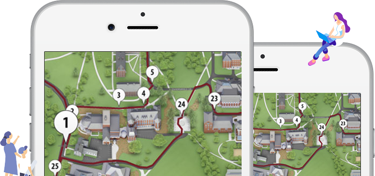
Create location-driven virtual experiences that immerse your viewers.
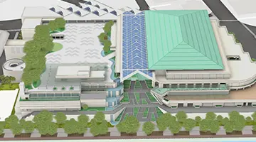
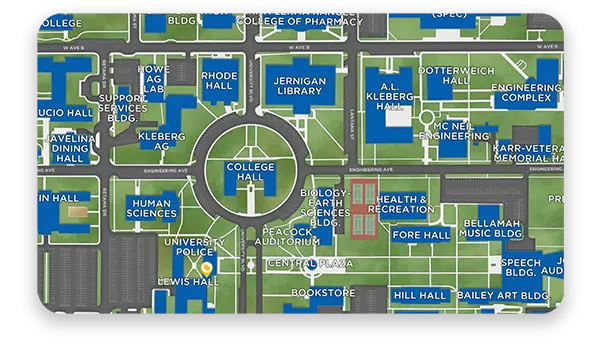
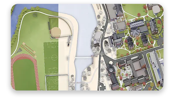
Our market-leading mapping solution is designed to showcase your location and exhibit your on-site experience through immersive, interactive, visual communication.


Concept3D has helped our partners build a sense of community online for over a decade with our award-winning Interactive Maps, 360° Tours, and Events Calendars. We work closely with partners across higher education, hospitality, live events, destinations, sporting events and are continuing to expand the problems we help solve.


Debbie Nichols, Fresno City College
Lyssa P, Bishop’s University
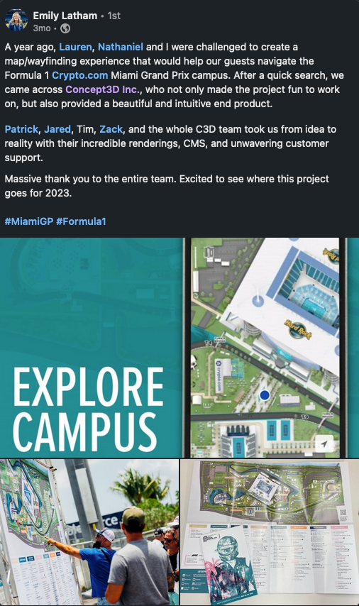
Rich Carollo, Colorado Convention Center
Rich Carollo, Colorado Convention Center
Lisa Lilly, INAP Data Centers
Bring your world to life virtually, showcase your location, and effectively tell your story.

Entry level package easily upgradable. Features to note:
The most popular interactive map package. Features to note:
Enhance your interactive map with these featured add-on’s:
Digital accessibility ensures that everyone—including users with disabilities—can interact with your campus map. It’s essential for compliance, inclusivity, and a better user experience. Yes, Concept3D’s Interactive Map is designed to meet WCAG 2.1 AA accessibility standards.
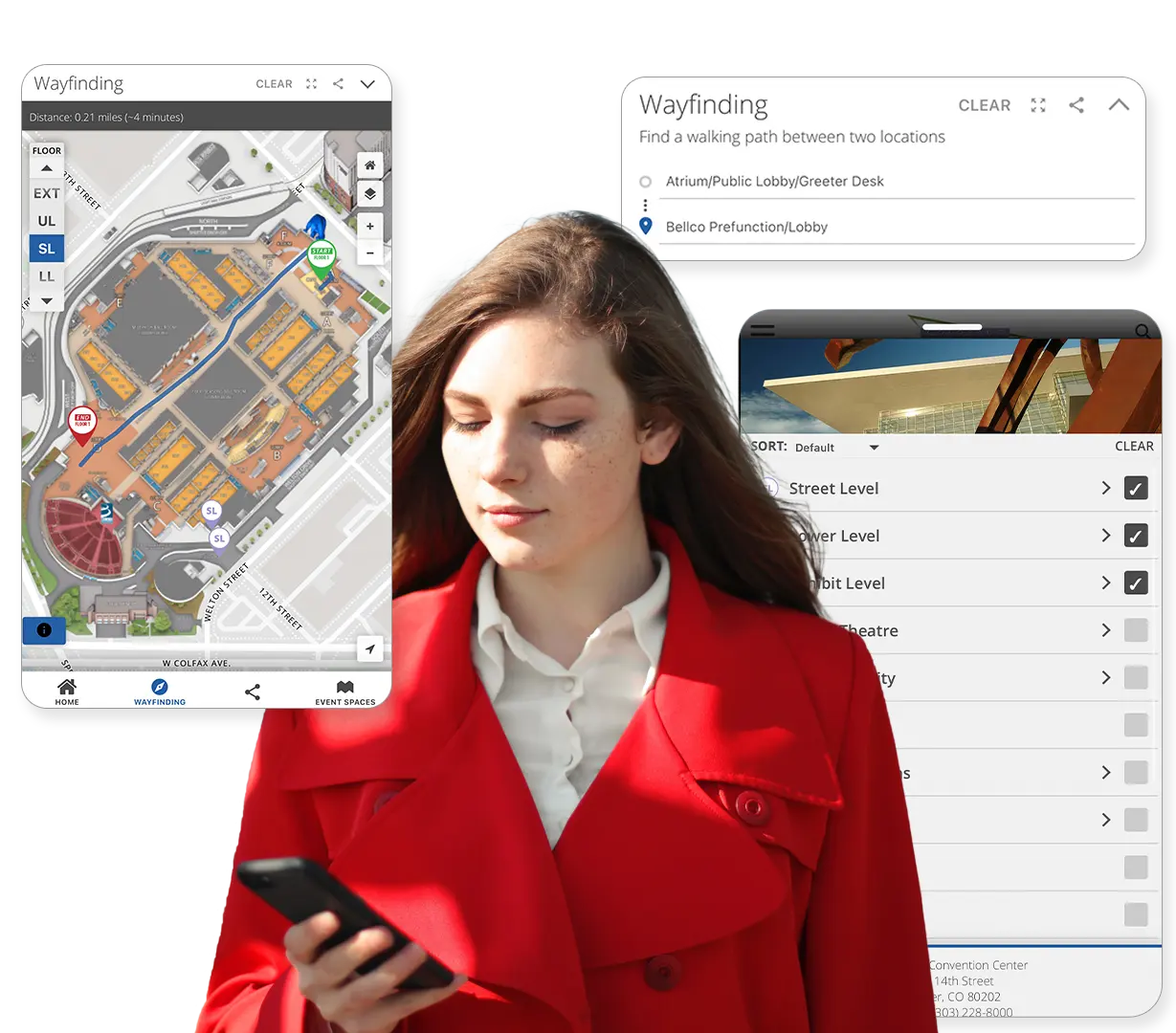
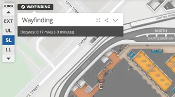
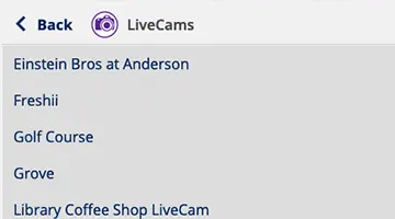
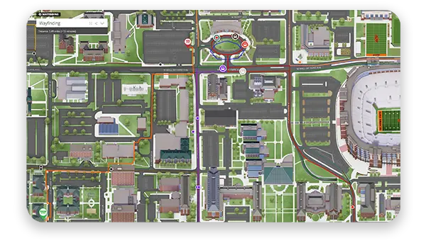
Yes. The Interactive Map supports both indoor and outdoor wayfinding. Visitors can get step-by-step directions between buildings or even within complex facilities like residence halls or student unions.
No problem. You can update labels, descriptions, and map layers at any time using the intuitive CMS. Name changes, renovations, or re-routing are easy to reflect on the map without starting from scratch.
Our platform supports integration with ArcGIS feeds. That means you can overlay GIS data or maintain your existing workflows while delivering a far more engaging, branded experience for users.
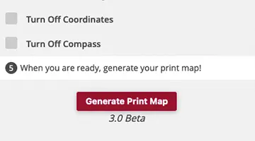
Typical implementation takes 6–10 weeks depending on how much information you want on your map,. Our team handles onboarding, design, and training to ensure a smooth and successful launch.
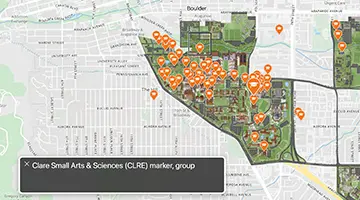
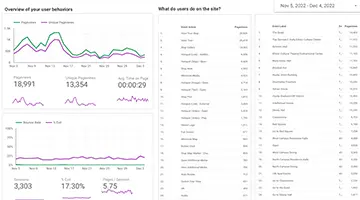
Our maps are primarily used to increase admissions by telling your campus story in a way that converts to application inquiries and on-campus visits. Marketers also use it to showcase key events and facilities on campus.
Yes. We have many different embedding options, but we do recommend embedding the full map on a dedicated page for a better mobile experience. We also offer CNAMES for your map and extensive branding to ensure a seamless experience.
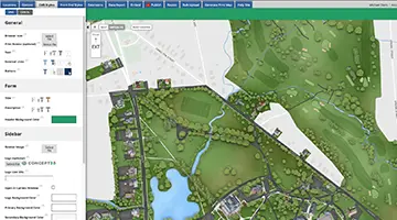
You’ll have access to a powerful Content Management System (CMS) that allows your team to add, remove, or edit map elements in real time. No design skills or coding needed—just point, click, and publish. If you have managed updates, you’d just email our team what you wanted updated.
No problem. You can update labels, descriptions, and map layers at any time using the intuitive CMS. Name changes, renovations, or re-routing are easy to reflect on the map without starting from scratch.
You can update your Interactive Map anytime using the CMS dashboard. Whether you’re adding new buildings, updating points of interest, or adjusting wayfinding routes, the system is built for fast, flexible updates—no coding required.
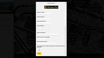
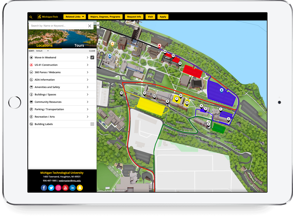
Michigan Technological University is a public research university offering over 120 undergraduate and graduate degrees to their student body of over 7,000. After connecting a Slate form to their interactive map, they reached a 4% form completion rate. Of those that filled out the form, 32% were prospective students’ first touch with Michigan Tech. Twenty-one of those students now attend Michigan Tech.
See our technology come together in one seamless experience.