Bring your world to life virtually.
Discover the power of location-driven interactive mapping, immersive virtual tours, and a centralized events calendar. Showcase your space, tell your story effectively, and cultivate a vibrant community.
Click here to learn how we help Higher Ed
Schedule a Demo Request Pricing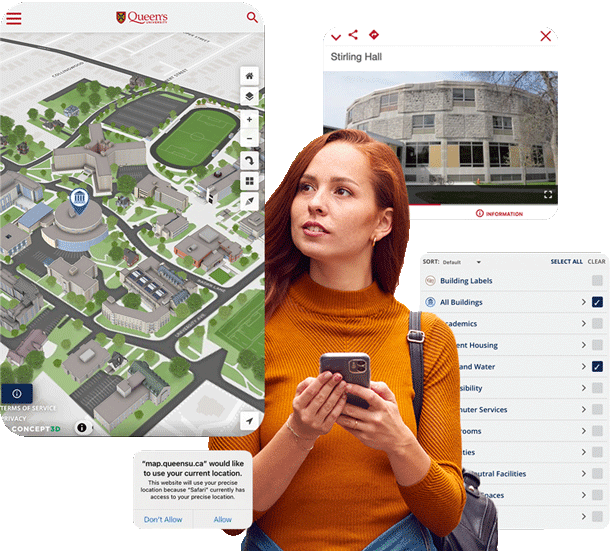
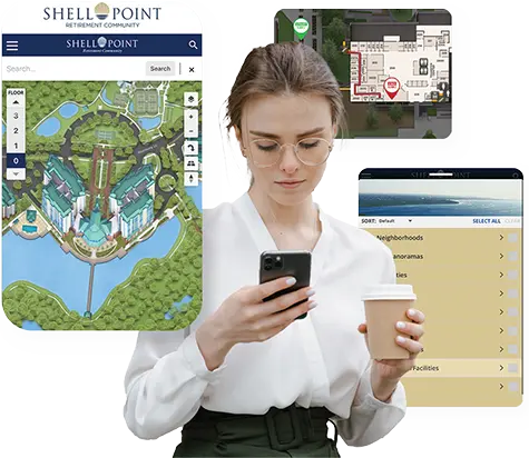
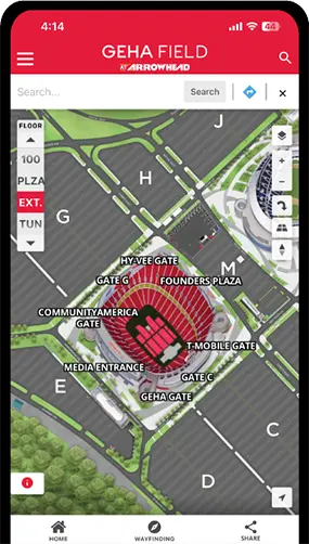
Bring your location to life with Interactive Maps
Showcase your location and exhibit your on-site experience in a way that engages and teaches users about your site.
Learn More See Features
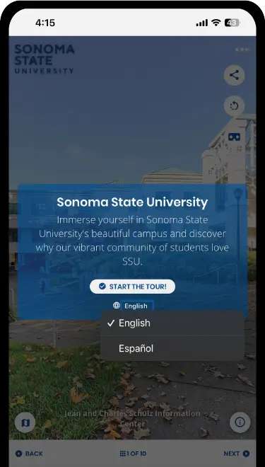
Give viewers a digital window into your location with 360º Tours
Tell your institution’s story in an immersive, curated view of your campus. Allow viewers the feeling of being in your location from wherever they are.
Learn More See Features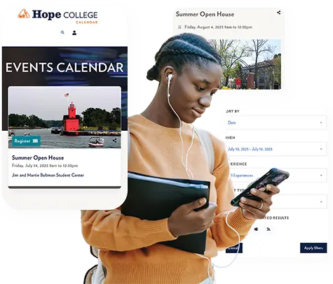
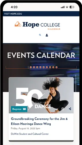
Connect your community with a centralized, branded event calendar
Centralize ALL of your events into an easy-to-use events calendar. Allow community members to submit their own events to be approved by moderators.
Learn More See Features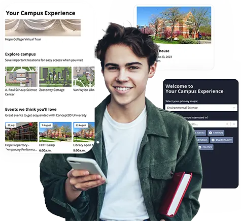
Unlock the power of personalization with My Campus Experience
Build a sense of belonging on campus by connecting student interests with campus events, communities, and locations.
Learn More
Showcasing What Makes 700+
Locations Unique
Your location is filled with stories, landmarks, and eclectic experiences that could enthrall any visitor. With Interactive Maps, you can categorize what makes your location unique and share it in a way that makes sense to your users.
Schedule a Demo Request Pricing